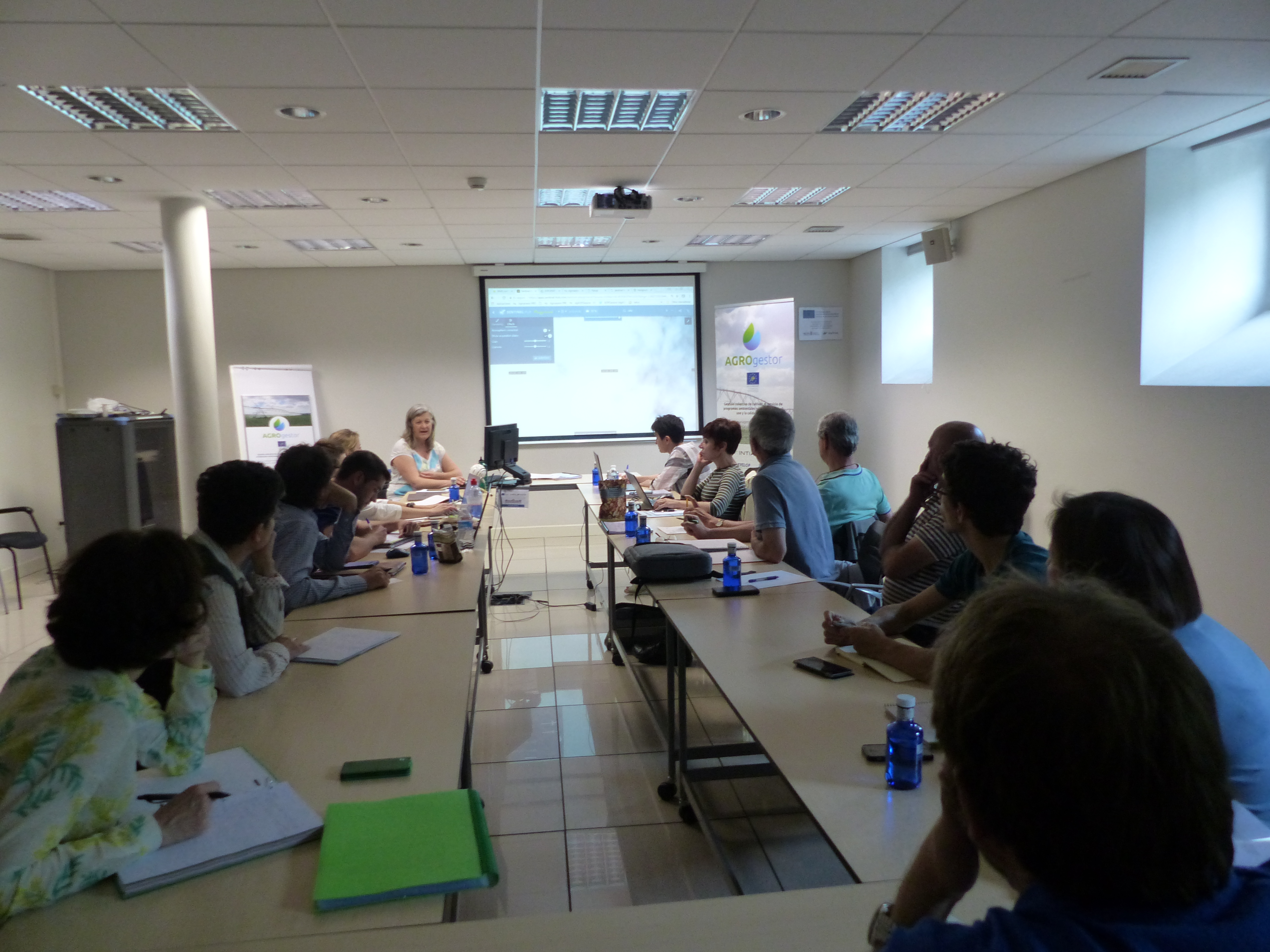
Meeting of remote sensing experts at INTIA (Navarra)
Remote sensing experts from IFAPA, Prodevelop, ITAP, Mas Badía, NEIKER, AEMET, INTIA and UPNA meet at the INTIA headquarters in Villava (Navarra) to discuss the latest advances in remote sensing technologies that can be implemented in the AGROgestor platform, such as: The new system for accessing images through WMS and WCS services, the configurator of sentinel HUB and the system of access to images for the HAD Irrigation and visualization of images in sigAGROasesor, the development in preproduction of the tool of thematization of plots according to the remote sensing indices of the PYRENeos project, the advances in fertilization of the Fátima project.
The objective is to integrate satellite images in the collective monitoring of the evolution of crops, at the agricultural parcel level in each Collective Management Area (AGC).
The project consortium meets today at the headquarters of INTIA to work on the actions of Remote Sensing, in a meeting prior to the follow-up meeting of the LIFE monitor of the project of tomorrow in which it is planned to show the monitor the different actions of the project , and visit the pilot in areas vulnerable to pollution to Nitrates in Navarra.