March 30, 2020. On-line monitoring of crops through satellite images.
The LIFE AGROgestor and Interreg POCTEFA PyreNEOS projects offer an online satellite image service for crop monitoring.
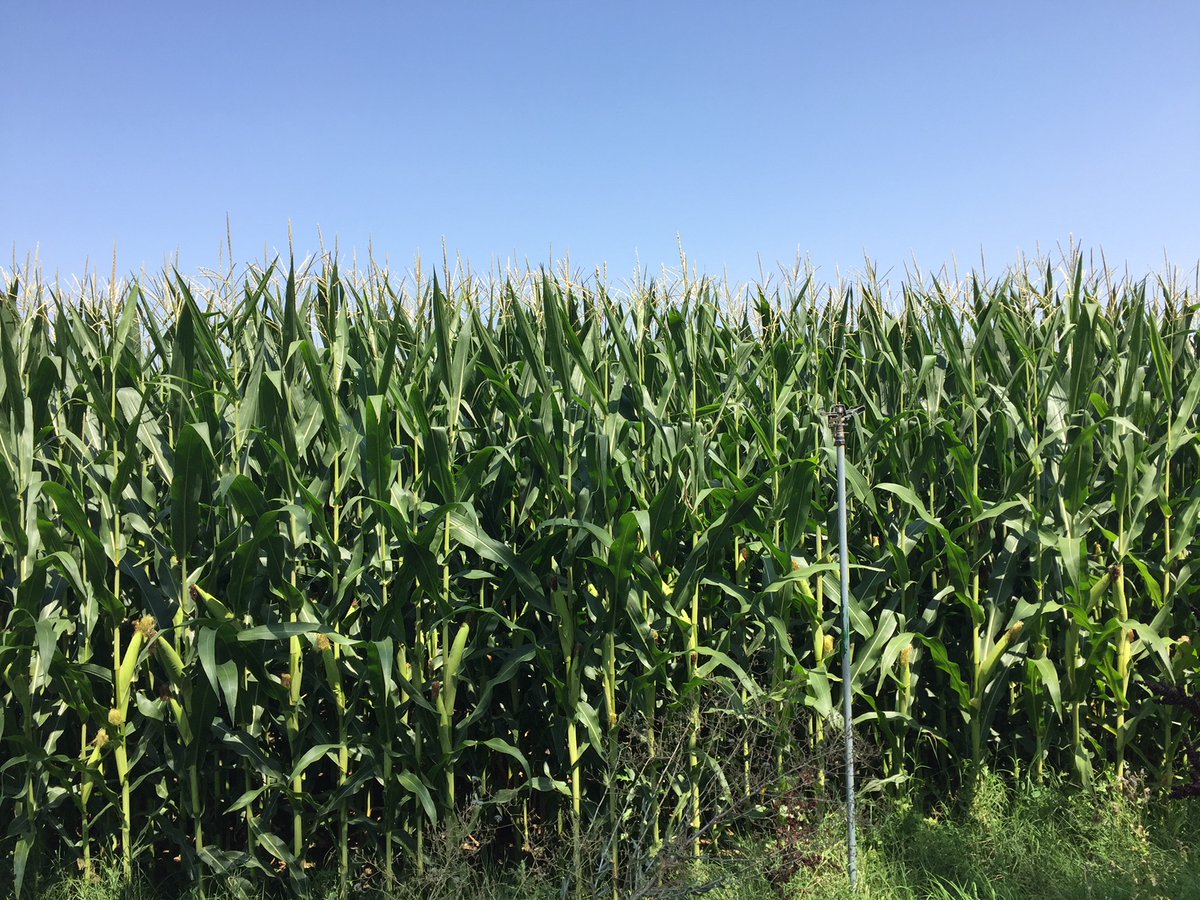
The LIFE AGROgestor and Interreg Poctefa PyrenEOS projects have developed online digital tools that help agricultural professionals in crop management.
Due to the current situation of restriction of movements, we want to help technicians and farmers to have access to the monitoring of crops on their plots, through satellite images, without leaving home, using their PC.
For this, an access to the AGROasesor platform has been opened, http://agroasesor.prodevelop.es/, in which by entering the user: PyrenEOS, and the password: demo1, you can track the crops through the images satellite: Select the plot,….
In this video you can see how the crop monitoring is accessed and how to make the query in AGROasesor. YouTube channel https://youtu.be/1xKL95QnIkQ
The AGROasesor platform is the result of the collaboration of public entities from 5 Autonomous Communities, Navarra, Andalusia, Catalonia, the Basque Country and Castilla La Mancha, coordinated by INTIA within the framework of a LIFE project.
The platform has been developed since 2011, as a result of the interest in addressing new digital advisory systems in crop management.


Leave a Reply